Forest Forensics: Reading Between the Pines
- Lewis Goff
- Nov 20, 2024
- 4 min read
Updated: Jan 29
As we connect and interact with our natural environment, there is an inherent curiosity to understand the stories the land possesses. Tom Wessels, the founder of Forest Forensics, notes in his book Forest Forensics: A Field Guide to Reading the Forested Landscape, “The story of a place comes forth as the landscape reveals its experience through our careful attention.” Our forests, rich with history, offer insights into both natural and human influences that have shaped them over time. By uncovering these stories, we deepen our appreciation of the landscape and gain valuable knowledge to guide future land management. In a world of ever-changing human activity, understanding the historical impacts on our forests is essential to preserving and protecting these ecosystems for future generations.

Forest forensics is key, as understanding the past helps guide present-day conservation efforts. By carefully studying the forests we protect, we can uncover the long-term effects of logging, settlement, and natural events on the land. These insights allow us to better manage and restore these spaces, ensuring they remain healthy and resilient. By applying forest forensics to our stewardship toolkit, UPLC preserves the natural beauty of the Upper Peninsula and ensures that future generations can continue to learn from and enjoy these remarkable landscapes.
Forest Forensics is defined as “the use of scientific methods and tools to study forests and their ecosystems.” Founded by conservation biologist Tom Wessels, forest forensics can enhance our understanding of an ecosystem by interpreting the historical clues embedded in the landscape. Forest Forensics makes use of things like tree growth patterns, soil composition, rock features, animal tracks, and human remains, as clues to understanding the the story of the land. A blend of environmental science, ecological history, and land management, forest forensics emerged to better understand the impact and history of natural disturbances and human activity on natural landscapes.
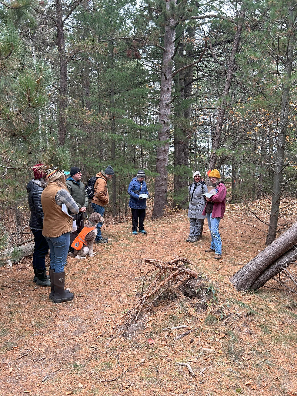
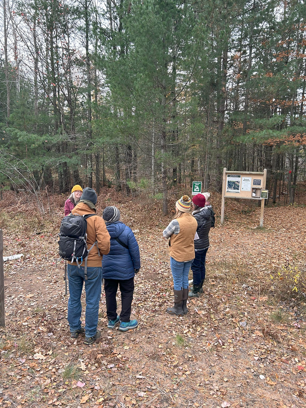
Recently, UPLC held its 5th annual Forest Forensics hike at the Chocolay Bayou. The 13-acre property covers a diverse ecosystem of wetlands and serves as a critical breeding and migration habitat for many bird species. From songbirds performing their mating calls, to kingfishers and eagles diving for fish, to cranes and herons standing in the calmness of the waters, protecting the bayou means protecting these crucial habitats for all species. Along with its significance to hundreds of plant and animal species, the bayou also provides unique outdoor recreation and environmental education opportunities to the local community.
The Chocolay Bayou Preserve shares boundaries with the Chocolay River, as well as the Iron Ore Heritage Trail. The bayou serves as a popular spot for canoeing, kayaking, and fishing, as individuals can access the calm and natural waters from the Iron Ore Heritage Trail or directly from Lake Superior. Furthermore, the Iron Ore Heritage Trail is a 47-mile trail, perfect for several activities like walking, running, and biking. The Preserve itself provides a unique opportunity for both outdoor recreation and environmental protection, accounting for both scenic beauty while protecting crucial habitats. The Chocolay Bayou Preserve offers several opportunities to walk, hike, fish, and more. Additionally, the bayou is a popular spot for birding, and last year alone, bird enthusiasts logged over 24 different species of birds at the preserve.

While the Cholocay Bayou is currently a significant property for environmental and recreational opportunities, the land also tells a unique story of the history of the area. Using key concepts of forest forensics, we can read the landscape and learn about potential historical events that have shaped the land. While it is not well documented, we must acknowledge that the Upper Peninsula was originally home to the Anishinaabe, and the Chocolay Bayou itself was home to predominantly the Ojibwe people. Prior to settlers’ arrival, the Chocolay River was said to have been used as a summer settlement area by the Ojibwe people. The first documentation of the area began to appear around the 1790s, which described native american communities trading with settlers and the beginning of several land disputes (Chocolay Township, 2024).
As land disputes began to create conflict between the Ojibwe people and settlers, several small tribes in the area banded together in support. Coming from as far as northern Lake Michigan, the Chocolay River, and several subsequent river systems were key elements for travel for Native American communities at the time. In 1836, the Treaty of Washington was signed, which established the Chocolay River as the land barrier between Native Americans and the United States. In this treaty, Native Americans ceded 13.8 million acres of land in the eastern upper peninsula and northwestern lower peninsula. This land represents 40% of the state of Michigan (Berger, 2021).
Following the Treaty of Washington, the bayou was primarily used to transport resources while the mining and logging industries were booming in the mid to late 1800s. Charles T. Harvey, the founder of Harvey, viewed the mouth of the Chocolay River as a great economic and political opportunity. In 1860, Charles oversaw a project to construct a blast furnace at the mouth of the Chocolay, which would help facilitate the exportation of iron ore from mines of the Upper Peninsula. Additionally, sawmills were constructed at the mouth of the Chocolay for seamless transportation of timber into the Great Lakes. In addition to the strong presence of industry on the Chocolay River, the mouth of the Chocolay itself was rerouted to be more productive for transporting these exports (Chocolay Township, 2024). This project was deemed successful, as it increased productivity by cutting out natural meanders of the river. Lowlands and swampy marshes are still evident at our Chocolay Bayou Preserve, roughly where the original river had once flowed.

The Chocolay Bayou Preserve is just one great example of the hidden story that the land beholds. Through the practices of forest forensics, we can begin to peel back the layers of human and environmental events that have shaped our land for centuries. As UPLC continues to protect and manage the preserve, we also play a vital role in educating the community. By sharing these stories like this, we not only establish a deeper appreciation among those who visit the preserve, but we also work to preserve land for future generations.
Missed the Forest Forensics Hike? You can access the historical scavenger hunt clues and solutions at https://www.uplandconservancy.org/nature-adventures

Comments